Google Street View is a technology featured in Google Maps and Google Earth that provides panoramic views of positions along many streets in the world. It was launched in 2007 in several cities in the United States and has since expanded to include cities and rural areas worldwide. Streets with Street View imagery available are shown as blue lines on Google Maps. Google Street View displays panoramas of stitched images. Most photography is done by car, but some are done by trekker, tricycle, walking, boat, snowmobile, and underwater apparatus. Street View is available as a component of Google Maps, as a web application, and as a mobile application for Android and iOS. Originally, Google Maps used Adobe Flash for Street View. Google overhauled Google Maps in 2013. The newer version uses JavaScript extensively and provides a JavaScript application programming interface. At the time of their release, the new Google Maps and Street View are measured slower than the old version in various setups. A user can switch to the old version of Google Maps, which is especially useful when Google Maps is more sluggish than usual.
Great Barrier Reef
Have you ever done scuba diving or snorkeling in the warm water of any Tropical destination? Your age doesn’t allow, Money problem now Google Street view allows us to view virtually without getting wet. The Great Barrier Reef collection was part of the first group of underwater panoramic images added to Google Maps, the next step in our quest to provide people with the most comprehensive, accurate, and usable map of the world. 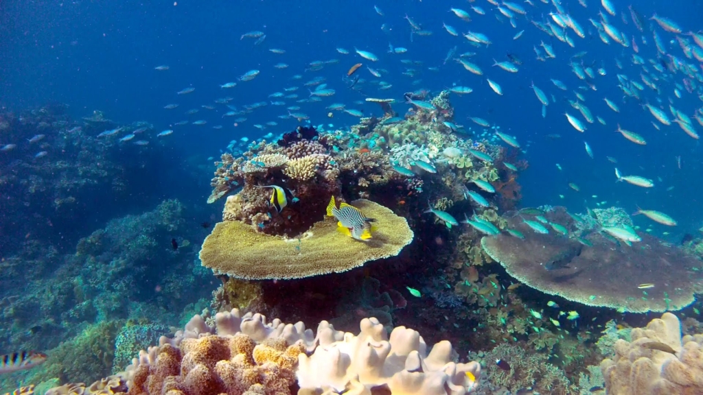
Antarctica
Antarctica the world’s remote continent here is the view of Amundsen–Scott South Pole Station, only a few peoples allow to visit to this place. Going to this place is impossible but google street view allows us to visit virtually. Google launched a street view for Antarctica in 2010. 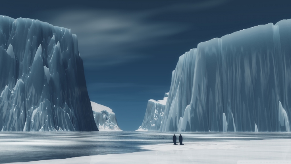
Kruger National Park
The Kruger National Park is the beating heart and pride of a wildlife-loving nation. Located in the north-eastern corner of South Africa, Kruger is considered to be one of the most iconic of Africa’s national parks. Kruger is the best-preserved wilderness area in the world. Home to both predator and prey, Kruger offers the opportunity to witness the cycle of life first-hand and is one of the most enthralling and exciting parks in the world. 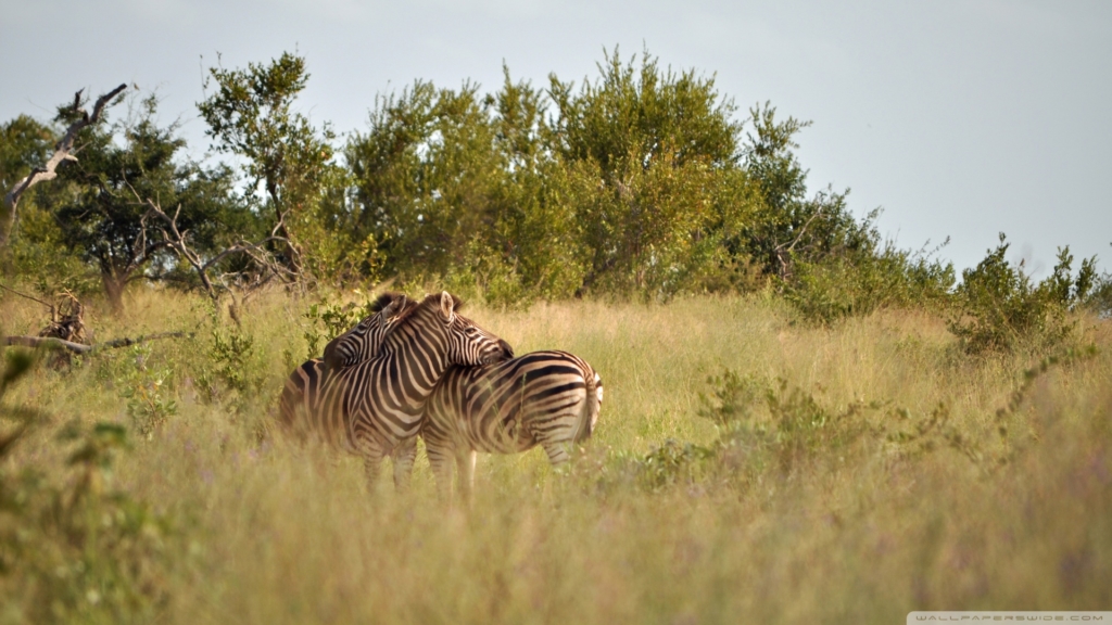
Cupola Observational Module (ISS)
The Cupola (named after the raised observation deck on a railroad caboose) is a small module designed for the observation of operations outside the ISS such as robotic activities, the approach of vehicles, and extravehicular activity (EVA). It was built in Europe by Thales Alenia Space Italy (TAS-I) under a contract of the European Space Agency. It provides spectacular views of Earth and celestial objects. The Cupola has six side windows and a direct nadir viewing window, all of which are equipped with shutters to protect them from contamination and collisions with orbital debris or micrometeorites. The Cupola is designed to house the robotic workstation that controls the ISS’s remote manipulator arm. It can accommodate two crewmembers simultaneously and is berthed to the Earth-facing side of Node-3 using a Common Berthing Mechanism (CBM). 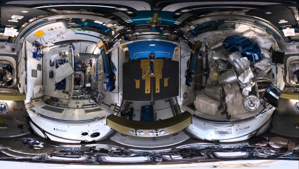
King’s Landing (Games of Thrones shooting spot)
The Targaryens made the Iron Throne from the swords of defeated rulers, fused by dragonfire, establishing King’s Landing as their capital city, and remained the ruling power on the continent until deposed by Eddard Stark and Robert Baratheon. The location chosen by The Game of Thrones producers to become King’s Landing was Dubrovnik, a medieval walled city in Croatia. 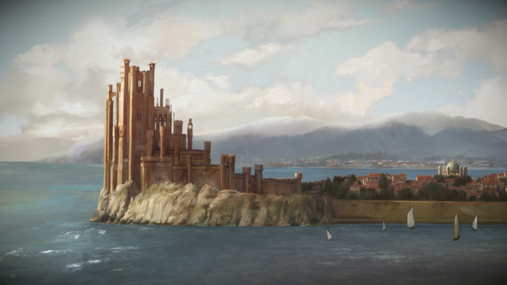
Lava Lake, Marum Crater, Ambrym Volcano
Street View Trekker was taken to an arduous and technically challenging descent all the way to the floor of the crater and was able to capture spectacular imagery from the very edge of the lava lake. 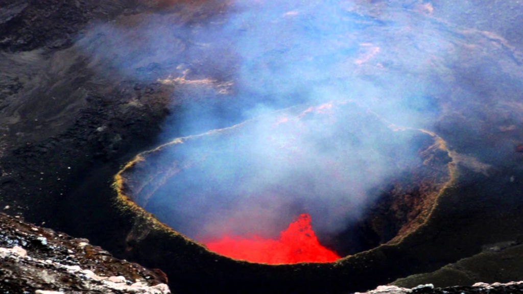
Mont Blanc
Mount Blanc is the large chunk of uplifted ice. All seracs eventually topple over when glacial movement or melting occurs. This serac’s blue tint was created over time by the compression of individual layers of snow; the weight of the densified layers changes the ice’s crystalline structure which creates various color spectrums. 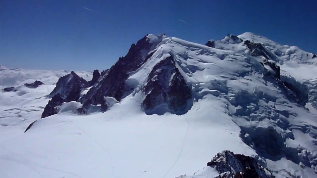
The Floating Piers
Christo and Jeanne-ClaudeThe Floating Piers, Lake Iseo – Italy. The Floating Piers was a site-specific work of art by Christo and Jeanne-Claude, consisting of 70,000 square meters of yellow fabric, carried by a modular floating dock system of 226,000 high-density polyethylene cubes installed at Lake Iseo near Brescia, Italy. The fabric created a walkable surface between Sulzano, to Monte Isola and to the island of San Paolo. 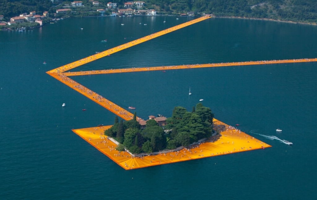
Taj Mahal
The complex is set around a large 300-metre (980 ft) square charbagh or Mughal garden. The garden uses raised pathways that divide each of the four quarters of the garden into 16 sunken parterres or flowerbeds. A raised marble water tank at the center of the garden, halfway between the tomb and gateway with a reflecting pool on a north-south axis, reflects the image of the mausoleum. The raised marble water tank is called al Hawd al-Kawthar, in reference to the “Tank of Abundance” promised to Muhammad. 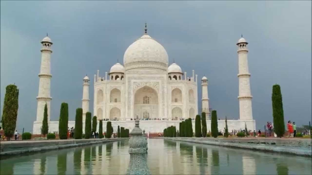
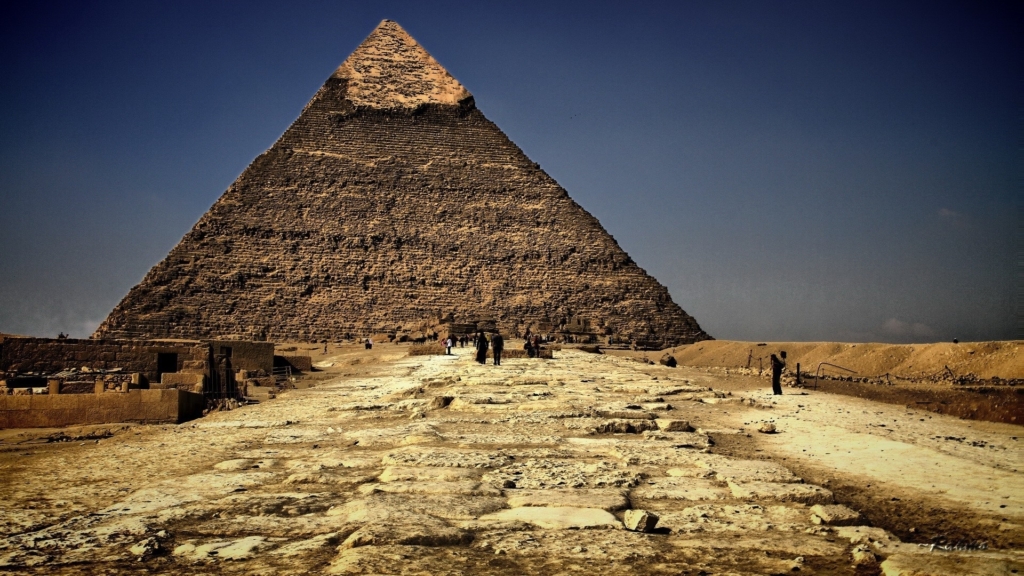
Pyramid of Khufu
The Great Pyramid of Giza (also known as the Pyramid of Khufu or the Pyramid of Cheops) is the oldest and largest of the three pyramids in the Giza Necropolis bordering what is now El Giza, Egypt. It is the oldest of the Seven Wonders of the Ancient World, and the only one to remain largely intact. 